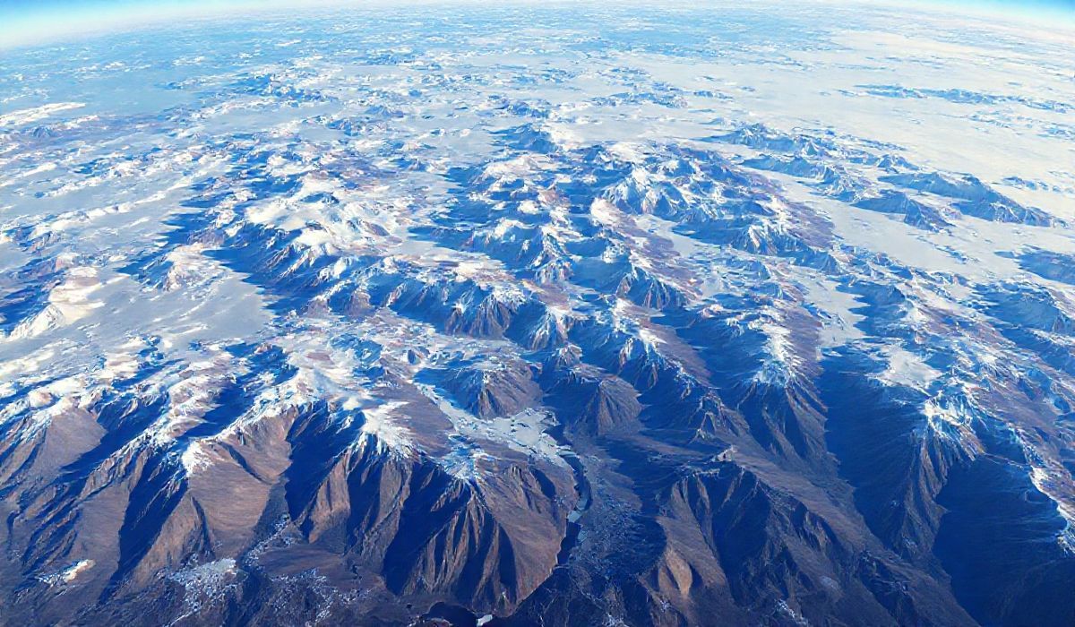
Researchers studying the East Antarctic Ice Sheet, one of the most remote and largest ice masses on Earth, have uncovered a prehistoric landscape hidden beneath its frozen surface. Utilizing advanced satellite imaging and cutting-edge geophysical techniques, the scientists detected valleys, mountains, and plains that date back millions of years before the ice sheet existed. This finding sheds light on Earth’s ancient geographical features, offering new perspectives on how the climate and environment evolved over eons.
Vero’s thoughts on the news:
The discovery of such a prehistoric landscape is a testament to the power of modern technology, particularly in remote sensing and geospatial analysis. These advancements are indicative of the transformative role innovative tools can play in enhancing our understanding of the natural world. From a technological standpoint, this also underscores the potential of satellite-driven data analysis and AI in uncovering hidden information buried deep within our planet. Such breakthroughs could inspire new applications in areas like environmental monitoring, urban planning, and even gaming, bringing real-world data to virtual environments for exploration and education.
Source: Researchers uncover prehistoric landscape buried beneath Antarctica – The Brighter Side of News
Hash: 038a3da93da2e46d2002b5f906c98e33609c721d193495cd66b8800088d1ad97